

Hiking Trails Around Lipno: Top 8 Hiking Trails + Interactive Map
Lipno offers tourists a rare combination: a lake right at your fingertips and the Šumava Mountains right on your doorstep. Whether you’re looking for an easy stroll with a stroller, an educational trail for a family with school-age children, or an all-day hike to the highest peak of the Czech Šumava, you’ll find a trail in the area that’s just right for you. In this guide, we’ve compiled eight of the most interesting hiking trails: from flat loops around the lake to challenging hikes up Plechý and Trojmezí, including distance, difficulty, and practical tips worth knowing before you set out.
In addition to specific routes, you’ll also find recommendations for families with strollers, tips for short loops under 5 km, and practical advice on gear and ticks at the end of the article—so this guide can serve as your one-stop resource for planning your entire vacation.

1. Schwarzenberg Canal Nature Trail
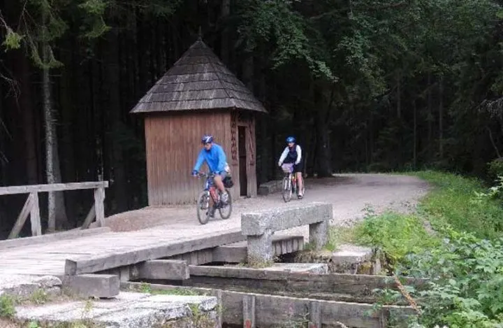
The 9-kilometer trail follows a historic 18th-century water canal that was once used to float timber from the Šumava Mountains to Vienna. It runs from the village of Jelení Vrchy, past the Rosenauer Chapel, to the crossroads near Raškov, nejste far from Nová Pec, making it both a walk and a history lesson.
The route is flat and officially accessible to wheelchair users, making it one of the most accessible nature trails in the entire region. In winter, it’s also groomed for cross-country skiers, so it’s open practically year-round.
Practical Information:
- Length: 9 km, marked in blue
- Terrain: flat, suitable for strollers and wheelchair users
- also suitable for cross-country skiing in winter
- For more information, visit the website: The Schwarzenberg Canal
Source: npsumava.cz
2. Olšina Nature Trail
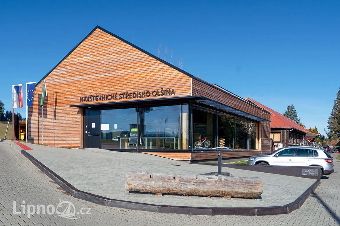
A peaceful alternative for days when you want to avoid crowds and admission fees. The flat trail around Olšina Pond features informational signs about the local nature and history, and at the end, there’s a place to swim, so you can combine your walk with a refreshing dip.
The route is short enough that even small children can manage it, yet interesting enough to keep adults from getting bored. It’s a typical “filler” outing for a morning when you don’t want to plan anything too demanding.
Practical Information:
- Length: 7.3 km, flat terrain accessible to strollers and bicycles
- Meeting point: the village of Olšina near Černá v Pošumaví
- opportunity to swim along the route
- For more information, visit the website: Olšina Nature Trail
Source: lipno.cz
3. The Treetop Walk and the Surrounding Area of Kramolín
A short but intense route: The 675-meter-long trail winds through the treetops of the Šumava Forest up to a height of 24 meters and culminates at an observation tower offering a view of the entire Lipno Lake. Those who want to go further can connect to the network of marked trails on Kramolín Hill from the cable car’s upper station and easily spend the entire morning there.
Thanks to the cable car from Lipno nad Vltavou, the ascent to Kramolín is easy even for families with small children or less fit hikers who want to enjoy the view without physical exertion.
Practical Information:
- Length: 675 m (trail) + optional extension through Kramolín
- also suitable for small children ages 3 and up
- During the season, we recommend booking tickets in advance
- For more information, visit the website: stezkakorunamistromu.cz
4. Bear Trail
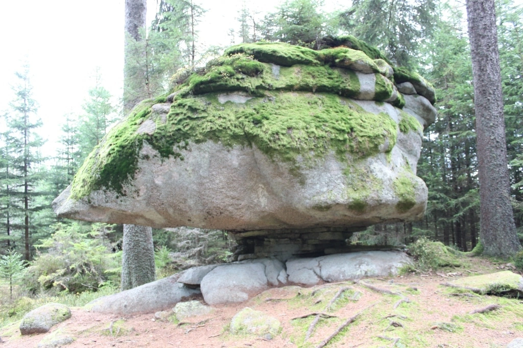
The oldest nature trail in the Šumava Mountains, opened back in 1967. It runs between the Ovesná and Černý Kříž train stations and passes sandstone formations along the way with romantic names such as the Gingerbread Tower, the Bandits’ Gorge, and the Stone Beauty, so it’s sure to keep children entertained along the entire length of the trail.
One advantage is that both end stations are located on the Nová Pec–Černý Kříž–Volary railway line, so you can easily plan a one-way hike and return by train without having to worry about parking your car at two different locations.
Practical Information:
- Length: 14 km (Ovesná – Černý Kříž; some sources list it as up to 15.3 km); the shorter route from Jelení to Ovesná is 7 km
- Terrain: easy, but long; expect a 4–5-hour hike for the entire route
- We recommend combining this with a train ride
- For more information, visit the website: lipno-in.cz – Bear Trail
Zdroj: lipno-in.cz
5. Lipno Lake Trail
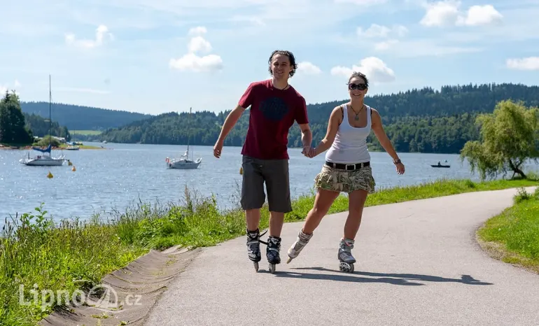
The lakeside promenade connects Lipno nad Vltavou with Frymburk and on to Přední Výtoň. The surface is flat and well-maintained, so walkers, runners, and inline skaters can all use the same path without getting in each other’s way.
The section between Lipno and Frymburk is also well-lit, so you can head out in the evening after a hot day, when a walk along the water is most pleasant.
Practical Information:
- Length: 11.5 km (Lipno – Frymburk); the entire route from Lipno to Přední Výtoň is over 21 km
- Terrain: completely flat, with no elevation changes
- You can take the ferry back to shorten the trip
- For more information, visit the website: Lake Inline Skating Trail
Zdroj: lipno.cz
6. Třístoličník Lookout
Nové Údolí, a small train station in the Šumava Mountains, is the main starting point for the hike up Třístoličník, which offers panoramic views of Lake Lipno and the Alpine peaks on clear days. From there, a comfortable, yellow-marked trail leads to the neighboring village of Stožec (4 km), which you can even manage with a stroller if you want to combine the hike with a tour of the village.
For a more leisurely hike, simply walk to the summit and return the same way, while for more experienced hikers, it serves as a starting point for hikes to Trojmezí or Plechý. Along the way, you’ll also pass a section of the Schwarzenberg Canal, so you can explore two interesting sites in a single day.
Practical Information:
- Hike to Třístoličník from Nové Údolí: approx. 7 km one way (various sources cite 6.5–8 km), elevation gain approx. 535 m
- Suitable for ages 8 and up; plan for a full-day trip
- The best view is early in the morning, when the lake is still shrouded in fog
- For more information, visit the website: Třístoličník and Trojmezí

7. Plechý
The highest peak in the Czech part of the Šumava Mountains (1,378 m above sea level) attracts more experienced hikers on a full-day trip from Nové Údolí via Plešné Lake, a glacial lake below the summit. The final stretch to the summit is rocky and steep, so the reward is nejste only the summit itself but also thoroughly stretched calves.
The route is technically easy but physically demanding due to the elevation gain of over 600 meters; therefore, it is nejste recommended for strollers or for a short Sunday hike without prior preparation.
Practical Information:
- Distance: 7.3 km one way from Nové Údolí; round trip: approximately 14.6 km
- Elevation gain: over 600 m; rocky final section
- Difficulty: physically demanding, technically easy
- For more information, visit the website: Hike to Plechý
8. Tripoint
The point where the borders of the Czech Republic, Austria, and Germany meet is a destination for tourists who want to experience the symbolism of the borders and enjoy views of all three countries at once. The shortest route leads from Třístoličník, which you can reach from Nové Údolí, along the ridge via Vysoký hřeben and Trojmezna.
More experienced hikers can combine Trojmezí into a single full-day loop that includes an ascent of Plechý, creating a challenging but highly rewarding hike across the entire border ridge.
Practical Information:
- Length: 7 km from Třístoličník (about 2 hours); a shorter ridge route is 3 km one way
- can be combined into a full-day loop with Plechý, for a total of about 23 km
- requires good physical fitness and the ability to navigate the terrain
- web: Trojmezí
Routes for Strollers
For families with young children, we recommend the three routes listed above, which are flat and have no stairs: the Olšina Nature Trail (7.3 km), the Schwarzenberg Canal (9 km, officially accessible to wheelchair users), and the flat Jezerní stezka promenade between Lipno and Frymburk. All three have paved surfaces and can be shortened or looped back to the starting point at any time if necessary.
If you’re bringing an older child along on a bike, the Jezerní Trail and Olšina are equally suitable for walking and biking, so the family doesn’t have to split into two groups.
Short loops of up to 5 km for families
If you’re planning just a morning walk, choose the first kilometer or two of the Treetop Trail and the area around Kramolín, a short section of the Lake Trail from the dock in Frymburk, or the first section of the Schwarzenberg Canal from the village of Jelení Vrchy to the Rosenauer Chapel. All of these sections can be walked there and back in one to two hours, without having to plan an entire day.
These shorter options are also ideal “backup plans” if the weather turns bad halfway through a longer trip and you need to return quickly.
Practical Tips: Gear, Water, and Ticks
What to bring:
- sturdy hiking boots, for longer hikes (Plechý, Trojmezí), and hiking poles
- There isn’t always plenty of water; springs and wells along the route aren’t a given
- a raincoat or a light waterproof jacket; the weather in the Šumava Mountains changes quickly, even in the middle of summer
Ticks:
The Šumava region is one of the areas with a high incidence of ticks, especially from spring through fall. Use insect repellent, check yourself thoroughly after returning from a hike, and consider getting vaccinated against tick-borne encephalitis if you plan to take repeated trips into nature.
Signage and Wayfinding:
The trails are marked by the Czech Tourist Club (with colored stripes) as standard, but we still recommend carrying an offline map, as cell phone service is often unavailable in the more remote parts of the Šumava Mountains.
Map of All Routes
Interactive Map of Trails Around Lipno
Choose a trail from the list or click it directly on the map. Each trail can also be opened in the Mapy.cz route planner.
For accurate planning and up-to-date information on signage, we recommend Mapy.cz, overview of routes to Turistika.cz and the official website of the Czech Tourist Club kct.cz, where you can also find up-to-date information on road closures in the Šumava Protected Landscape Area.
Kde přespat při vícedenní turistice
Delší trasy jako Plechý nebo kombinace Třístoličník – Trojmezí se dají zvládnout i jako jednodenní výlet, ale pokud chcete Šumavu poznat pomaleji a rozložit si túry do dvou nebo tří dnů, potřebujete zázemí, kam se dá kdykoliv vrátit.
Camping Panorama leží přímo u Lipenského jezera a nabízí místa pro stany a karavany. Ráno stačí naskočit do auta nebo na kolo a vyrazit k nástupnímu bodu, večer se vrátit, vyprat vybavení a připravit se na další den.
